
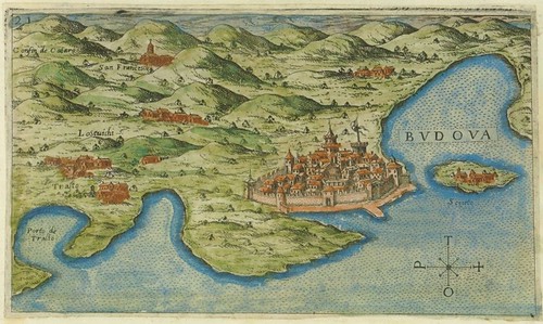
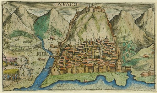
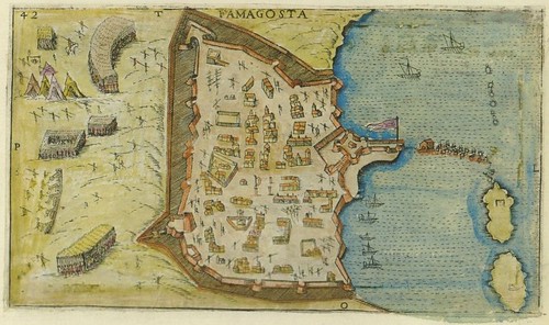
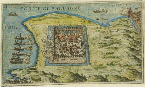

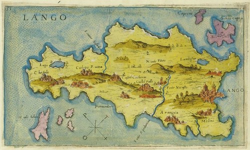
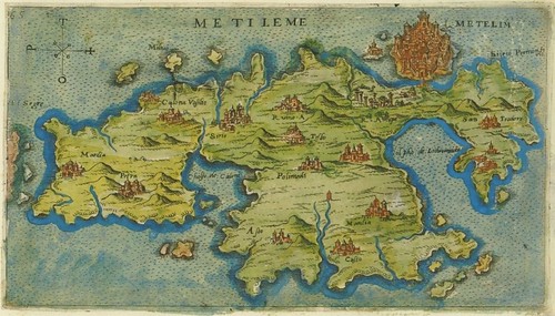
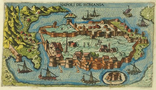
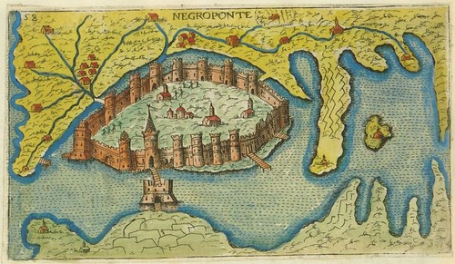
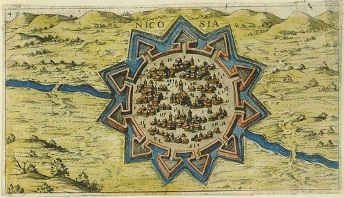
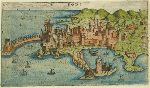
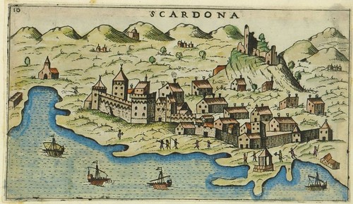
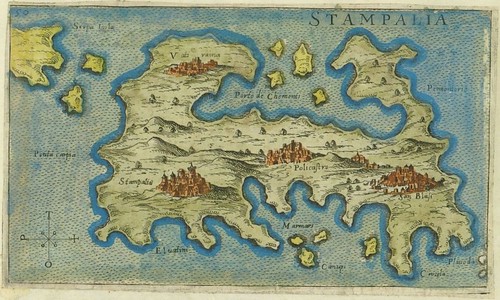
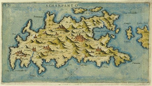
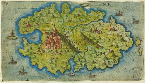


Giacomo (Jacomo) Franco (1550-1620) spent his whole life in Venice where he worked as a cartographic engraver and publisher in the family business. Although there is scant background material online, evidence for his mapmaking competence can be inferred from the noted cartographer Abraham Ortelius having relied on a Franco map as a reference source.
The array of hand-coloured engravings seen above are from a (presumably) draft collection of illustrations engraved by Franco in 1597 that would be formally published the following year. The book in which they would appear -- 'Viaggio da Venetia a Constantinopoli per Mare' (Voyage from Venice to Istanbul by Sea) -- was ostensibly a navigational guide that saw a number of editions. The accompanying text was supplied by the humanist cartographer Giuseppe Rosaccio and included economic, historical and travel-related details in addition to the navigational notes.
The Viaggio plates (64 in the informal 'Carte Geografiche' suite) depict all the major cities, islands and visible landmarks along the recommended sailing route through the Adriatic, Ionian, Mediterranean and Aegean Seas [map].
Croatia's National and University Library in Zagreb host the 'Carte Geografiche' -- click on the image to launch the painless flash interface or the inside margin list for small images of Croatian towns. All the images above are screencaps: the first and last depict Venice and Istanbul respectively, but the rest are probably out of order.
Previously: cartography
No comments:
Post a Comment